Coastal Indicators Project
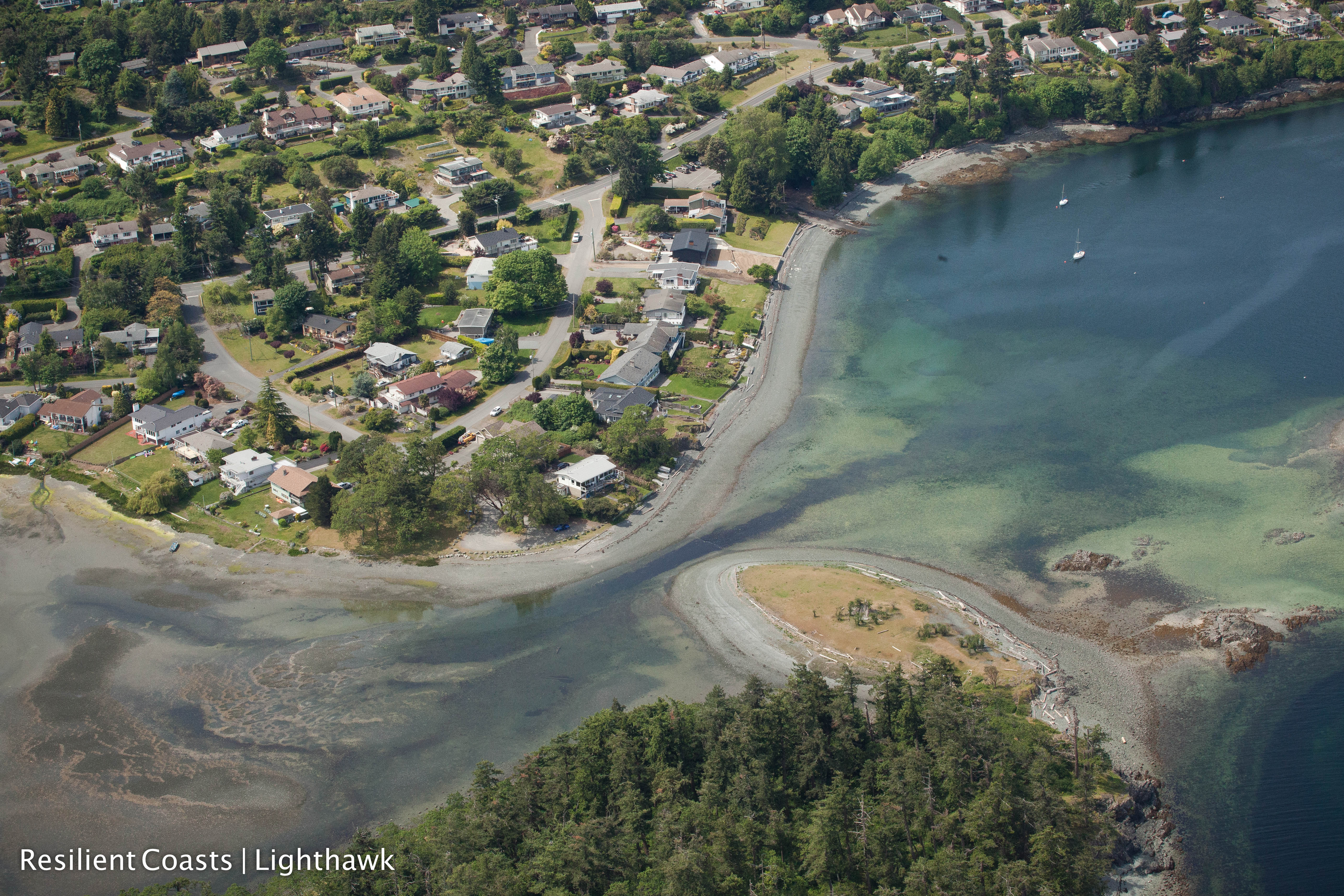
Many coastal regions across Canada are exposed to natural and human-induced hazards. The impacts of these hazards are projected to increase with climate change, sea-level rise, growing coastal populations, marine traffic, and asset densification in coastal zones. However, coastal communities are vulnerable in different ways; each coastal community will face a unique set of hazards depending on its location and population. This research project aims to improve the way that communities access the tools and information necessary to meet these challenges by supporting regional networking and resilience-building efforts.
Specifically, our research seeks to identify opportunities for communities that share hazard vulnerabilities to connect with each other and share knowledge, resources, and best practices. We have developed a Hazard Vulnerability Similarity Index (HVSI), a novel method that measures the similarity of community vulnerability profiles based on a multidimensional set of socio-economic indicators related to marine and coastal hazards. Traditional vulnerability-indicator approaches rank communities based on their relative vulnerability to prioritize resources for the places most at risk. Our research aims to complement these studies by identifying places that share similar hazard vulnerability issues. The project will initially focus on the Strait of Georgia region in British Columbia, and will be expanded to include communities in Atlantic Canada in the future.
The scope of our research is interdisciplinary, and the HVSI includes indicators that measure the natural environment (e.g. coastal geomorphology), built environment (e.g. port facilities), economy (e.g. marine resource dependence), society (e.g. social demographics), and institutional capacity (e.g. land-use plans). An interactive online platform will be developed where those responsible for developing vulnerability reduction strategies, such as municipal planners and emergency managers, can access their community vulnerability profile as both numerical and visualized data. This online platform will serve as a networking tool; a community will be able to identify other communities that share a similar vulnerability profile and determine what kinds of risk-reduction efforts they have engaged in. These connections will build a network of regional resilience across coastal communities and will facilitate opportunities to share experiences about past disasters and to learn about existing vulnerability reduction efforts in other areas.